
San Bernardino County ZIP Code Coverage
San Bernardino County has a wide postal footprint. The spatial ZIP approximations below come from county-intersecting ZCTAs, so some rows include boundary slivers rather than ordinary mailing identities. The post-office column gives the practical postal context found in the research, while the notes flag city-edge, mountain, desert, and institutional differences. A ZIP code directory is strongest when it names the area and then checks the delivery address with USPS.
| ZIP | Areas Covered | Post Office Context | Notes |
|---|---|---|---|
| 91701, 91730, 91737, 91739, 91784, 91786 | Rancho Cucamonga and Upland | Foothill and valley postal routes | Postal cities and municipal edges do not always align. |
| 91708, 91709, 91710 | Chino and Chino Hills | Chino-area delivery context | City and postal boundaries differ in places. |
| 91761, 91762, 91763, 91764 | Ontario and Montclair | Ontario and Montclair edge routes | Use the full address when a route crosses a municipal edge. |
| 92242, 92267, 92277, 92280 | Earp, Parker Dam, Twentynine Palms, and Vidal | Colorado River and desert routes | 92278 is also an installation-linked ZIP in the county geography. |
| 92252, 92256, 92268, 92284, 92285 | Joshua Tree, Morongo Valley, Pioneertown, Yucca Valley, and Landers | Morongo Basin delivery context | Community names can be more useful than a county label. |
| 92301, 92307, 92308, 92344, 92345, 92392, 92394, 92395 | Adelanto, Apple Valley, Hesperia, and Victorville | High Desert routes | Oak Hills and other edges can overlap a named area. |
| 92304, 92309, 92310, 92311, 92327, 92338, 92342, 92347, 92356, 92363, 92364, 92365, 92368, 92369, 92371, 92372, 92398 | Baker, Fort Irwin, Barstow, Daggett, Ludlow, Hinkley, Lucerne Valley, Needles, Nipton, Newberry Springs, Oro Grande, Yermo, and county-intersecting edge areas | Desert corridor and remote routes | Large distances and sparse settlement make place-name variants important. |
| 92305, 92314, 92315, 92317, 92321, 92322, 92325, 92333, 92339, 92341, 92352, 92358, 92378, 92382, 92385, 92386, 92391, 92397 | Mountain communities from Angelus Oaks and Big Bear to Crestline, Lake Arrowhead, Running Springs, Twin Peaks, and Wrightwood | Mountain community routes | Weather, terrain, and county-edge delivery create discontinuities. |
| 92313, 92316, 92324, 92335, 92336, 92337, 92346, 92350, 92354, 92359, 92373, 92374, 92376, 92377, 92399 | Grand Terrace, Bloomington, Colton, Fontana, Highland, Loma Linda, Mentone, Redlands, Rialto, and Yucaipa | Main valley and east-valley routes | 92316 includes unincorporated Bloomington. |
| 92401, 92404, 92405, 92407, 92408, 92410, 92411 | San Bernardino city | San Bernardino postal routes | Separate a city ZIP from the county's wider geography. |
| 92415 | County government center | Institutional government delivery | Not a normal residential ZIP identity. |
| 89019, 91759, 91766, 92320, 92332, 92368, 92509, 92880, 93516, 93555, 93558, 93562 | Nevada, Los Angeles, Riverside, Kern, and Inyo edge areas, plus county-intersecting communities | Edge-ZCTA context | Spatial intersection does not make each code an ordinary San Bernardino mailing ZIP. |
The full county-intersecting spatial list also includes 92374, 92378, 92385, 92386, 92391, 92397, and 92399 within the families above. Treat the family table as a routing aid, not a substitute for the postal lookup. A ZCTA is a statistical geography built to approximate ZIP boundaries; it is not itself a guarantee that USPS delivers to every point in that polygon.
San Bernardino County ZIP Map Limits
The official San Bernardino County ZIP Code Map was created March 26, 2007. Its printed notice says that P.O. Box Only ZIP Codes are not reflected. That makes the map useful for broad county geography, but not enough to decide a current delivery identity, a box-only address, or a boundary parcel.
There is no confirmed countywide ZIP split or realignment year in the reviewed county material. Keep the map's date visible in any research note. For a current address, use the USPS ZIP Code Lookup by city and state, and then test the complete street address when the record depends on delivery accuracy.
The county map is especially helpful when a place name has changed or a desert route looks disconnected from the nearest city. It should not be read as a current roster or as a city-limits map. P.O. box-only, unique, and institutional ZIPs need their own explanation.
A dated county ZIP map can still preserve a useful geography snapshot when its limits are stated beside it.
The official-map image belongs with the 2007 date and the P.O. Box Only warning. USPS verification supplies the current delivery check that the map cannot provide.
San Bernardino County GIS ZIP Fields
The documented countywide ZIP route is GIS rather than the assessor's combined address box. The county's GIS portfolio and public GIS services expose site-address points with a five-digit ROV_ZIPC field. That makes it possible to query or filter address geography by ZIP. The point still identifies an address location, municipality or community, point type, and ZIP context, not a person.
The assessor parser stores ZIP information internally, and property-characteristic files define situs ZIP and ZIP+4, but the public assessor form presents one combined address box rather than a documented ZIP-wide resident filter. Use GIS to narrow a spatial area, then use an address-keyed custodian for the question that follows.
| Field or control | Source | What it contributes |
|---|---|---|
| ROV_ZIPC | County site-address GIS | Five-digit ZIP value for address-point filtering. |
| Municipality and community | County site-address GIS | Local place context that may differ from the postal city. |
| Point type | County site-address GIS | Identifies the kind of address point in the layer. |
| Address box | ARC govPIMS | Situs address search; not a documented ZIP-wide public filter. |
| Situs ZIP and ZIP+4 | Assessor property-characteristic files | Property address fields for parcel data, not an occupant list. |
The county GIS portfolio image shows the county route for viewing geography at scale.
GIS is the bridge between a ZIP boundary and an address point. It does not turn a spatial layer into a resident directory, and it should not be used to infer an occupant.
San Bernardino County Valley ZIP Families
Valley ZIP research often starts with a familiar city label, but the county record environment changes at the edge. The 917 family links Rancho Cucamonga and Upland, while the 91708, 91709, and 91710 group serves Chino and Chino Hills. Ontario and Montclair appear in the 91761 through 91764 group. Farther east, the 92313, 92316, 92324, 92335 through 92337, 92346, 92350, 92354, 92359, 92373, 92374, 92376, 92377, and 92399 families cover a broad valley and east-valley set.
San Bernardino city uses the 92401, 92404, 92405, 92407, 92408, 92410, and 92411 families, while 92415 serves the county government center. A city label, a county address, and a postal route can therefore point to different custodians. Permits and local planning follow the city or unincorporated jurisdiction, while the ZIP is a delivery key.
When a ZIP narrows the area, preserve the exact street number, directional prefix, street suffix, unit, and postal city. Then pass the address to the parcel or address search rather than treating the ZIP as a people field.
San Bernardino County Mountain ZIPs
Mountain ZIP families need community-level care. Crestline, Lake Arrowhead, Running Springs, Twin Peaks, Wrightwood, Big Bear, and Angelus Oaks can have routes shaped by terrain, weather, and county-edge service. The same five-digit ZIP can feel far removed from the valley records environment. Directory, newspaper, and local-history searches benefit from the community name as well as the postal code.
Desert rows are broader still. The county-intersecting groups touch Baker, Fort Irwin, Barstow, Daggett, Ludlow, Hinkley, Lucerne Valley, Needles, Nipton, Newberry Springs, Oro Grande, Yermo, Earp, Parker Dam, Twentynine Palms, Joshua Tree, Morongo Valley, Pioneertown, Yucca Valley, and Landers. Sparse routes, installations, and edge ZCTAs make a place-name variant a key part of a reliable ZIP code directory search.
Codes such as 89019, 92509, 92880, and the 93516, 93555, 93558, and 93562 group illustrate the problem. A spatial intersection with San Bernardino County does not make every code a normal county mailing identity. Confirm where USPS assigns the address before drawing a resident or parcel conclusion.
San Bernardino County ZIP Names
Helendale and Silver Lakes are a useful geography test. USPS uses Helendale, while Census material uses Silver Lakes. A search that uses only one label can miss a census table, newspaper item, directory entry, or local history reference. Test both names alongside the ZIP and the street address.
The county history source for Helendale and Silver Lakes gives the place-name context behind the mismatch. It is a reminder that ZIP geography records a delivery system, while census geography and community identity may use another name.
The county history image makes the postal and community naming difference easier to spot.
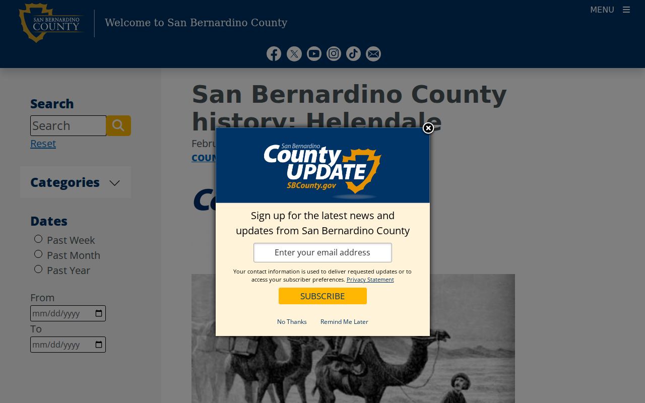
Use both names when moving between USPS, Census, directories, and local newspapers. A dual-name search is a small step that can prevent a false dead end.
Find San Bernardino County ZIP Residents
A ZIP code can narrow a research area, but it cannot by itself disclose a list of residents. Use a staged workflow that separates postal geography from identity records. Start with the spatial or delivery question, then select the official source that matches the record type.
- Verify the ZIP and postal city with USPS, especially for a P.O. box, an edge address, or a community with two names.
- Use the county GIS site-address layer and its
ROV_ZIPCfield to identify address points in the ZIP geography. - For a particular address, open ARC govPIMS and search the situs address or parcel, keeping APN and owner fields separate from occupant assumptions.
- For historical households, pair the address with a criss-cross directory, newspaper, census, or archive source rather than expecting the current ZIP to carry backward.
- Confirm any name through a second custodian, and record whether the result is a postal match, a parcel connection, a historical address, or a registered-voter record.
Once a ZIP narrows the field to a street or parcel, the San Bernardino County Street Directory route handles the address-by-address record chain. ZIP-wide geography remains a filter, not a casual block browse.
San Bernardino County ZIP Versus Cities
Postal and land records use different boundaries. San Bernardino County's incorporated cities control their own planning and local permit systems, while county departments handle unincorporated address assignment and county GIS. A ZIP can cross a municipal line, use a postal city name that differs from the community, or intersect the county only as a small spatial sliver.
- ZIP versus ZIP+4
- The five-digit ZIP identifies a broad delivery area; ZIP+4 narrows a delivery point or route segment.
- P.O. Box-only ZIP
- A postal code used for boxes rather than a normal street-delivery area.
- Unique or institutional ZIP
- A code assigned to a particular organization, installation, or government destination.
- Carrier route
- A delivery route inside a ZIP, which is operational detail rather than a resident list.
- ZCTA
- A Census statistical approximation of ZIP geography, not a promise of USPS service at every point.
These definitions explain why a ZIP code directory should not be used to assign a city, an occupant, or a land-use jurisdiction without an address check. The current delivery answer comes from USPS; the parcel answer comes from the assessor or GIS; the person answer requires a lawful, record-specific custodian.
San Bernardino County ZIP Delivery Context
USPS context adds scale to the San Bernardino city portion of the ZIP code directory. A 2024 local USPS release says the San Bernardino postmaster oversees six offices, 110 delivery routes, nearly 81,000 addresses, and more than 8,600 P.O. boxes. Those figures describe delivery operations, not the number of residents and not a public household roll.
The local USPS release is the source for the delivery context.
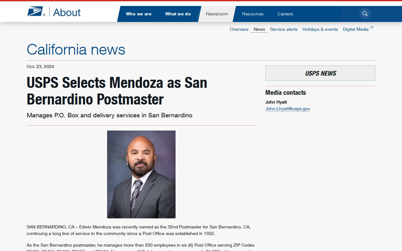
Delivery-route scale is why a full street address matters. A ZIP family can cover many routes, while a P.O. box or institutional destination may not behave like a street-delivery address.
Use the USPS San Bernardino postmaster release for context, and use the live USPS lookup for an individual address. Do not convert delivery counts into a population estimate or a resident list.
The live USPS form shows the direct address-verification path that belongs after a broad map or ZIP family search.
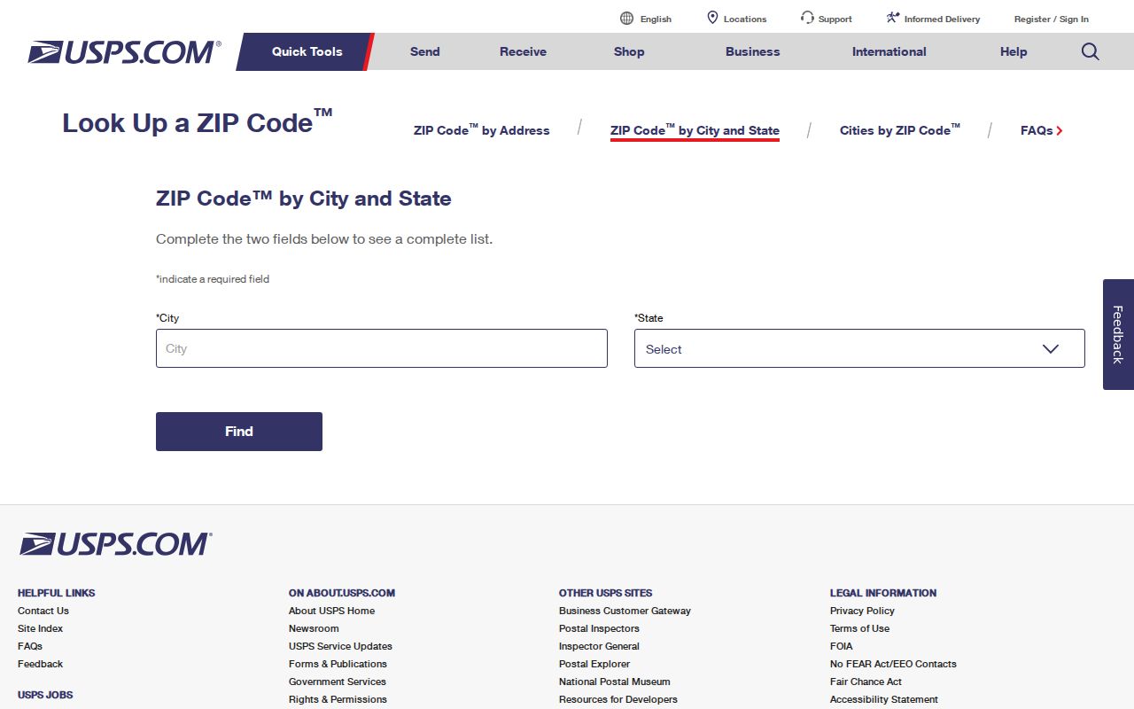
The USPS lookup image belongs to current postal verification. It complements the dated county map and GIS geography rather than replacing either one.