
San Bernardino County Neighbor Sources
A block-level neighbor lookup is a set of narrow views, not one official list. The public assessor map is strongest for parcel geometry and owner history. County GIS supplies address points and place fields. Recorder data begins after a name bridge, permits vary by jurisdiction, and historical directories follow occupants only for the years held. Voter data is purpose-restricted. The table keeps those differences visible before any name is treated as a neighbor.
| Source | What It Shows About a Block | Access |
|---|---|---|
| Public Assessor Map | Parcel geometry, situs, owners and owner history, documents, exemptions | Free parcel map viewer; parcel by parcel |
| County GIS address layer | Address point, municipality, community, ZIP, and point type | Public GIS services; no occupant identity |
| Parcel maps | Lot configuration, map book and sheet context | Assessor map viewer; no resident list |
| Recorder index | Transfers, liens, and recorded instruments after a party-name bridge | Free index; office viewing or copy order for images |
| Permits | Work chronology and sometimes applicant or owner evidence | County EZOP or counter; city systems vary |
| Criss-cross directory | Historic occupant by street and house number | Library or local collection, generally in person; years vary |
| Voter file | Registered-voter residences and election fields for permitted purposes | Self status or a restricted county application |
| Census | Historic occupants and relationships through 1950 | Public historical schedules and research collections |
Owners are not necessarily occupants. A parcel can belong to a trust, an off-site owner, or a business entity. A homeowners exemption can support an owner-occupancy inference but does not identify every person in the home. Non-owner household members, children, unregistered adults, utility customers, and DMV addresses are absent from this parcel view. Protected data may also be suppressed under Government Code §§7928.200-.205.
San Bernardino County Neighbor Records: Parcels
The San Bernardino County public assessor map is designed for a parcel-by-parcel walk. For a San Bernardino County neighbors lookup, search one APN or address, select its polygon, keep the block visible, and click each surrounding and facing parcel. Open the Property Info or current-owner report for each selection. Record the APN, situs, owner name, document number, and parcel status before moving to the next lot.
The county public assessor parcel map shows the kind of geometry used for a neighbor lookup.
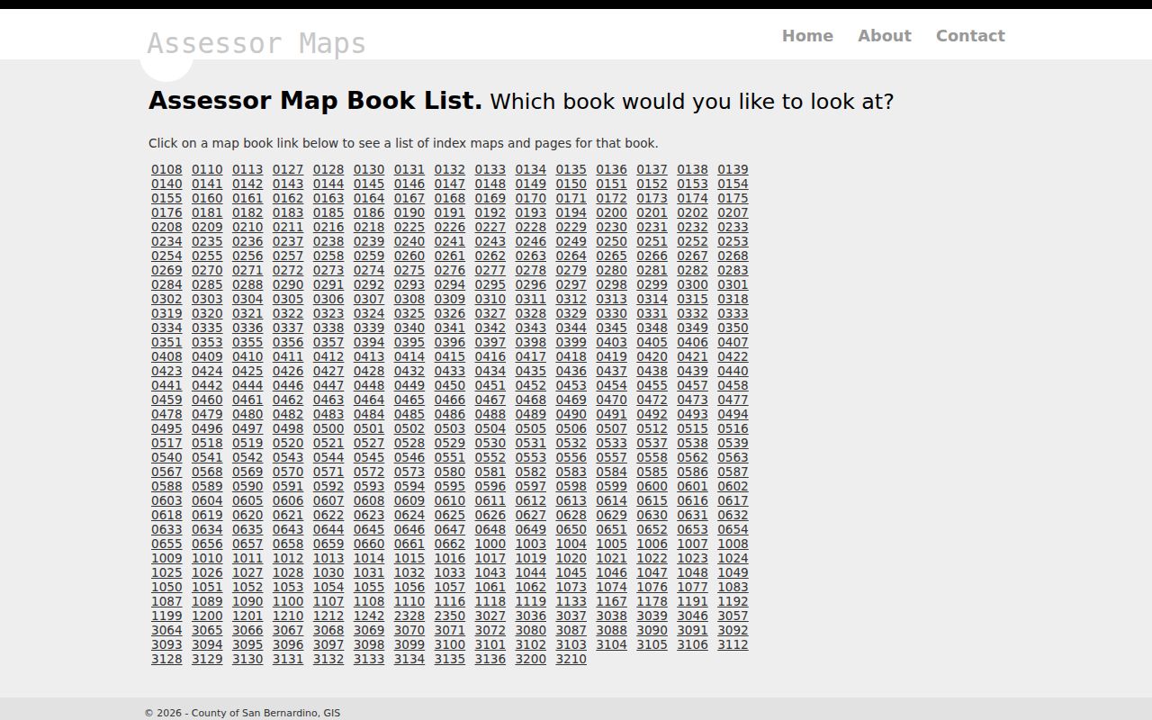
Parcel outlines help define who is adjacent or across the street, but they do not identify the people who occupy each structure. Keep the map result and the person question separate.
- Search the known address or APN and select the correct parcel polygon.
- Pan and zoom while keeping the full block in view; click lots on both sides of the street.
- Open each Property Info or current-owner report and note APN, owner history, document numbers, and exemptions.
- Use Parcel History to spot splits and combinations that make a present lot differ from an older lot.
- Stop at the parcel boundary; a whole-street question needs a separate address-by-address method.
“Generate Attached Parcel Report” is a parcel utility, not a documented radius search. It can help with a selected parcel's related data, but it should not be described as an automatic list of neighbors.
San Bernardino County Neighbors: Block Walk
A useful block walk moves from geometry to record keys. Start with the situs address, then take the APN and current owner into the parcel report. If a past transfer matters, use the owner or document number to bridge into the recorder's grantor-grantee index. The recorder cannot search ownership by street address, and its public web index does not display document images. Image inspection takes place at the Hall of Records or High Desert Government Center, or through a paid copy route.
Permits add a different layer. County permits for unincorporated territory can show work chronology, applicant, and sometimes owner evidence through Land Use Services permit research and the county's permit portal. An incorporated city may keep an earlier or separate series. A permit can help date a structure or project, but it is not a current occupant record.
For a whole named street, the San Bernardino County Street Directory route extends the walk beyond the immediate block. This San Bernardino County neighbors method stays narrow: adjacent lots, facing parcels, and the local community layer.
Site-Address GIS for San Bernardino Neighbors
County GIS adds context that parcel geometry alone cannot. The site-address layer can expose the address point, municipality or community, five-digit ZIP, and point type. The ROV_ZIPC field is useful for filtering a ZIP geography, but the layer does not contain occupant identity. A postal city, municipal limit, and community name can diverge, especially near the county's mountain, desert, and valley edges.
The county GIS service directory is the source for the public layer used in this workflow.
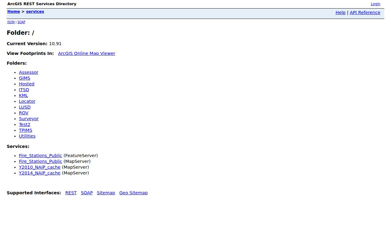
The GIS image shows the geography route, not a person search. Use it to confirm where an address point sits and which ZIP or community fields travel with it. That distinction keeps a San Bernardino County neighbors lookup tied to a map field rather than an occupant inference.
| GIS value | Block-level use | What it cannot establish |
|---|---|---|
| Address point | Places a site within the parcel and street context. | Who occupies the structure. |
| Municipality or community | Helps choose the city or county permit custodian. | Legal residence or membership in a group. |
| ROV_ZIPC | Supports five-digit ZIP filtering. | A list of names or household members. |
| Point type | Describes the address feature in the layer. | Current owner or voter status. |
San Bernardino County Neighbor Records: Owner Occupancy
Assessor data can show a named ownership interest, situs, APN, document numbers, roll history, and exemptions. That is valuable for a block study, but the owner may live elsewhere, hold the parcel through a trust, or have a separate mailing destination. A recorder entry can show a grantor or grantee role without proving that person still owns the parcel. A permit applicant can be an owner, contractor, or another party with a project connection.
Household members and non-owner occupants are not supplied by the parcel map. Utility accounts, delivery records, and DMV addresses have their own privacy rules and do not become public neighbor fields. A voter record concerns registered voters only, and a historical criss-cross entry reflects the year and local coverage of that directory. A block result is therefore best labeled “parcel owner,” “registered voter,” “historical occupant,” or “permit party,” rather than simply “neighbor.”
That vocabulary protects both research accuracy and the people described. It also makes it easier to compare a current parcel with a past household without turning an inference into a fact.
San Bernardino County Neighbor Records: Voter Rules
California voter data is not a casual block-browse tool. A person can check personal status through My Voter Status using first name, last name, date of birth, and matching driver-license or state-ID information or the last four Social Security digits. The county's self-service route can show status, registration address, party, districts, vote-by-mail status, and participation history for the voter. It never discloses ballot choices.
The San Bernardino County voter file may include name, residential and mailing address, party, registration date, precinct or district, language, vote-by-mail flags, and participation. Elections Code §2194 and Government Code §7924.000 limit file access to election, scholarly, journalistic, political, or governmental purposes. A release application requires a wet signature, permitted-purpose selection, narrative, recipients, nonredisclosure agreement, payment, and signature under penalty of perjury.
The Registrar of Voters records office accepts the application in person or by mail at 777 E. Rialto Ave., San Bernardino, CA 92415-0770, telephone 909-387-8300. A voter may purchase a personal certified registration letter for $1.50 in person with government photo ID. That channel verifies a person's own record; it does not create a public list of San Bernardino neighbors.
San Bernardino Neighbors: Community History Contacts
No authoritative countywide HOA or neighborhood-member directory was located. Community archives can document how a neighborhood formed, which buildings stood there, and how residents described a place, but they should not be presented as private rosters. CSUSB Special Collections is a useful contact route for manuscripts, photographs, maps, rare books, university records, and local ephemera.
| Resource | Useful block evidence | Contact or access |
|---|---|---|
| CSUSB Special Collections | Local and regional archives, photographs, maps, manuscripts, and ephemera | archives@csusb.edu; 909-537-5112; Pfau Library PL-4009, 5500 University Parkway |
| Bridges That Carried Us Over | More than 160 Black Inland Empire oral histories and thousands of photographs | Project collection; research contact through CSUSB |
| Walter Steele collection | Buildings, businesses, rail scenes, and street views, often before closure or demolition | Steele photographs; archive appointment |
| California Room | Local directories, newspapers, yearbooks, telephone books, and community history | Local library research room; hours are shorter than the main library |
CSUSB lists appointments and after-hours arrangements as available. These collections provide a lawful way to reconnect with local history or understand a block's past without implying that an archive will disclose a member list.
The local special-collections image represents the archive route behind community memory.
Archive staff can identify relevant collections and access conditions. They do not turn historical material into a current household roster.
San Bernardino County Neighbors: Historic Block Images
Community memory can fill a gap that formal rolls leave behind. The Walter Steele photographs preserve threatened buildings, businesses, rail scenes, and street views. A storefront, bridge, church, or house number can help tie a historical address to a place even after the structure changes. The image is evidence of a scene and time, not proof that a named person still lives there.
The Steele neighborhood photo collection is the source for this visual route.
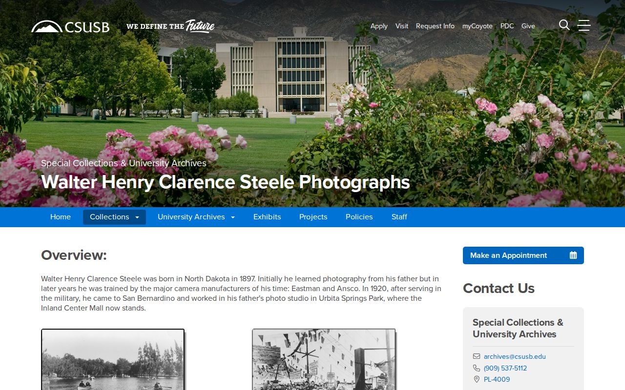
Photo captions, studio binders, and address clues can help a researcher build a historical block chronology. They should be cited as collection evidence, separate from current assessor or GIS data.
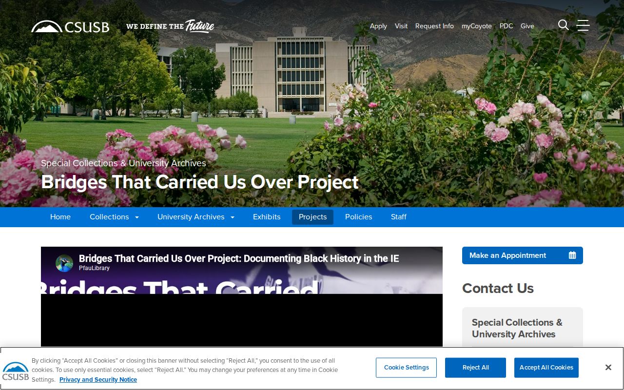
Bridges That Carried Us Over adds oral histories and photographs documenting Black Inland Empire communities that formal directories and newspapers may underrepresent.
The Bridges project preserves that community layer.
Oral history is a way to learn how people experienced a neighborhood, not a license to publish private contact details. Pair a story with a date, address, or collection reference before making a historical identification.
San Bernardino County Neighbors and Official Rolls
Commercial neighbor-lookup compilations can combine public records, licensed data, and inferred relationships. They may merge people with similar names, repeat stale addresses, or turn an old parcel connection into a current claim. Official sources are narrower, but their custodian, fields, dates, and access rules can be checked.
| Source category | Strength | Limit |
|---|---|---|
| Assessor and parcel map | Named parcel, geometry, owner history, and document clues | Owner is not necessarily occupant; protected fields may be suppressed |
| County GIS | Address, ZIP, municipality, community, and point context | No occupant identity |
| Voter file | Registered-voter residence and election fields when legally released | Permitted purpose only; not a casual browse |
| Commercial compilation | May suggest leads across several data types | Source, freshness, and identity match can be unclear |
Use official records for verification, historical archives for context, and a commercial compilation only as an unnamed lead category that still requires custodian confirmation. A lawful neighbor lookup should never be used to watch, threaten, or pressure anyone.
Privacy Boundaries for San Bernardino Neighbors
California's Safe at Home program provides substitute-address and mail-forwarding services for qualifying participants. The Secretary of State Safe at Home program, voter confidentiality rules, protected assessor fields, sealed court records, and the federal Driver's Privacy Protection Act all create deliberate gaps. Household members, utility customers, delivery records, and private association contacts are not ordinary public block fields.
A San Bernardino County neighbors search is appropriate for personal history, civic curiosity, reconnecting, or ordinary safety awareness. It is not a reason to bypass a protected address or infer a private household relationship from a parcel. If the record is wrong, contact the custodian that made it. If the record is absent, accept that an access boundary may be the answer.
Lawful use. San Bernardino County neighbor records must be handled for personal, lawful purposes. California Penal Code §§646.9, 422, 653m, and 528.5, Code of Civil Procedure §527.6, and voter-file restrictions prohibit using records to stalk, harass, threaten, impersonate, or intimidate another person.
Keep a research note that identifies the source, date, record type, and uncertainty. That simple habit respects the people described and keeps parcel geometry, official rolls, historical photographs, and community stories from being presented as the same kind of fact.